
Chesterfield Neighbors Around an Address
Chesterfield neighbors are best researched as a small, address-defined block. The county GIS layer identifies touching parcels and map context. Assessor cards add the assessed owner, locator, situs, and mailing fields. The Recorder can confirm transfers and plats. A permitted election extract can provide a limited registered-voter view, while the city trustee and association routes identify a public community contact. Historic directories and newspapers belong to the earlier-period layer, not the current one.
| Source | What it shows about a block | Access and limit |
|---|---|---|
| County GIS parcel viewer | Touching parcels, parcel geometry, owner and locator attributes, aerial and district context | Public viewer or map service; visible layers can change |
| Assessor parcel card | Current assessed owner, situs, mailing line, subdivision, value, and locator | Free address, name, locator, or subdivision search; not an occupancy roll |
| Recorder plat and deed index | Lot and block layout, easements, transfer parties, and recording dates | County vendor route, counter, copy request, SLCL, or FamilySearch for older material |
| Election Information Search extract | Permitted active voter name, address, district, and optional history fields | Fee-based request with a statutory use restriction and protected-address exclusions |
| City trustee or association route | Community contact, minutes, indentures, or boundary context where supplied | Association-specific; no general member roster |
| Directory or newspaper archive | Earlier occupants, businesses, social notices, and moves near the street | SLCL scans and microfilm; coverage and OCR are incomplete |
The distinction between owners and residents applies at every step. An Assessor result is strong parcel evidence. It is not a complete answer to who your Chesterfield neighbors are today.
Map Chesterfield Neighbors in GIS
The St. Louis County Geospatial Data Center provides the reproducible first pass for Chesterfield neighbors. Search the address, zoom until parcel lines are distinct, click the subject parcel, and save its locator and legal description. Pan along both sides of the road to open the adjoining polygons. The county parcel service exposes an OWNER_NAME display field, parcel geometry, and owner, value, land-use, and jurisdictional attributes. Its underlying service supports spatial distance queries, though the visible viewer tool may change.
- Locate the subject address and capture the exact county locator, not just the street spelling.
- Turn on parcel and aerial layers, then click the subject polygon to review its attributes.
- Pan to each touching or directly opposite parcel and record the locator, situs, owner field, subdivision, and map date.
- Use the locator in the Assessor and Recorder routes to separate adjacent parcels with similar addresses.
- Compare a plat when a subdivision block, easement, or split parcel makes the road edge unclear.
This flow is narrower than the full named-street chain. For a longer sequence of parcels, deeds, and historic address sources, use the Chesterfield street directory instead.
Read Chesterfield Neighbor Parcel Cards
Use the St. Louis County Real Estate Search to inspect a parcel after the map supplies its locator. The result model includes owner name, taxing or mailing address, care-of line, situs, city or destination code, subdivision, lot, block, acreage, legal description, deed references, sale history, sketch, aerial, and district labels. The form supports locator number, name, property address, and subdivision search modes. Each mode needs the matching kind of information rather than a free-form search.
| Parcel-card field | Meaning for nearby-parcel research |
|---|---|
| Locator | The county parcel key that joins the map, tax, and deed trail. |
| Situs | The physical parcel location on the block. |
| Mailing or taxing address | An owner correspondence line that may be somewhere else. |
| Subdivision, lot, and block | The legal layout clues for a platted community. |
| Deed document or book/page | A pointer to the recorded instrument, not proof of current occupancy. |
Do not use a homestead or exemption flag as a substitute for a resident record. It can suggest a tax treatment, but it does not conclusively establish who is present at the property. The Assessor’s Clayton counter, phone, and email route are available for questions or corrections when the online card lacks needed context.
Note: Record each parcel’s situs and locator before comparing an owner mailing line with any other address source.
Chesterfield Neighbor Trustee Routes
Subdivision trustees are Chesterfield’s public community layer when there is no open neighborhood roster. The city-maintained trustee listing supplies a starting contact and helps distinguish a named subdivision from a marketing label or another kind of development. Confirm the subdivision name with a Recorder plat and the parcel’s lot or block before treating it as the right community. A trustee contact can explain a boundary or point to public materials. It does not authorize the publication of private membership information.
Chesterfield's Subdivision Trustees page is the city entry point for this community-contact route.
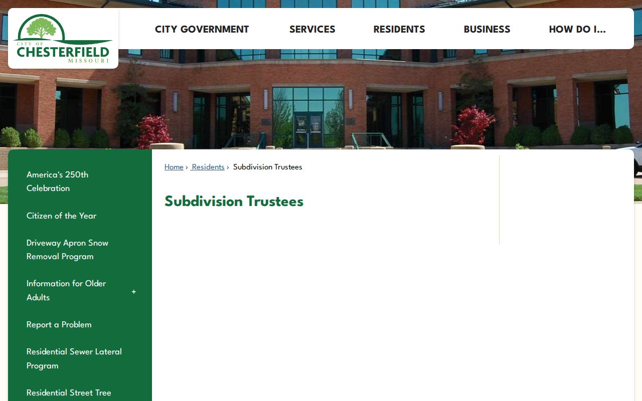
Start with the public listing, then use the parcel and plat records to make sure the contact fits the address being researched. That keeps a Chesterfield neighbor question tied to the correct subdivision.
City trustee listing
Use the city’s subdivision-trustee route for a community contact or to confirm that a named subdivision has a listed trustee.
Recorder plats
Use a subdivision name with lot and block details to verify the legal layout behind a community label.
SLCL local history
Use the library’s neighborhood and community sources for earlier place names, newspapers, and directory context.
Chesterfield Neighbors in Shenandoah
Shenandoah is a documented example of the community layer. Its public association materials describe 495 detached residences in western St. Louis County and Chesterfield, and publish minutes, indentures, and financial materials. The association verifies residents or owners before admitting them to its private Facebook group. Those practices make it a contact and document route, not an open directory of Chesterfield neighbors.
The Shenandoah resident association provides its public materials and community contact information.
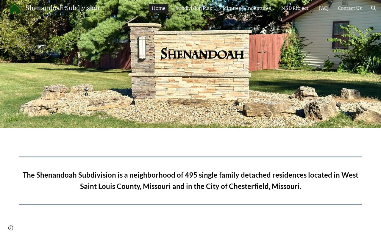
Use the published materials to understand the association’s stated boundaries and contact route. Do not treat private-group verification or a community document as permission to identify every person connected to an address.
Chesterfield Neighbors in Meadows
Meadows and Clarkson Estates provide another association-specific contact route. The research found a public contact form and a verified email-list path, but no open member roster. For a Chesterfield neighbors question in either community, use the association’s own form after checking the parcel and subdivision. That approach respects the association’s verification process and is more reliable than assigning an owner to a community based only on a familiar name.
Meadowbrook Farm and Clarkson Estates contact information supplies the public association route.
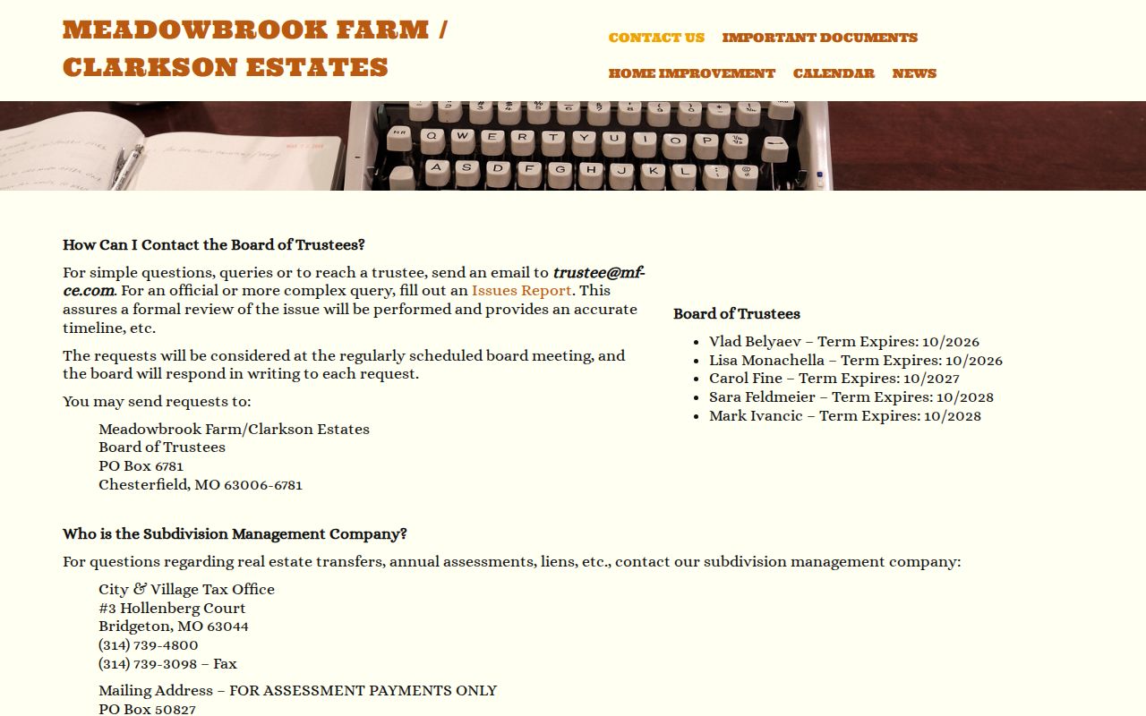
The contact route complements city trustee, Assessor, and Recorder records. It does not replace them, and it does not make a private mailing list public.
Chesterfield Neighbors in Voter Records
The state voter portal is for a person checking their own registration with exact data, so it is not a name-only block tool. A permitted St. Louis County request is different. The Election Information Search Form allows municipality, district, precinct, and countywide selections and can include address, district, registration, and requested election-history fields. Its default sort begins with split and street name, then house number, last name, and first name.
Countywide files cost $40, with an additional countywide file at $10 when ordered together. District or municipal files cost $20, with an additional file at $5. The form can be submitted by email, fax, mail, or in person to the St. Louis County Board of Elections in St. Ann. It cites RSMo §115.158.6, which restricts commercial use, and protected voters may have closed residential addresses. Use it as a narrow civic-record channel, not as a promise that every Chesterfield neighbor will appear.
Compare Chesterfield Neighbor Sources
Official records and paid personal-information tools do not answer the same question. The official routes reveal the public record that supports a claim and let the reader check the custodian. Private directory products may blend old addresses, identity data, and records from different dates without showing a clear source trail. A block question is more accurate when each item is kept in its own lane.
| Official block record | Private directory category | Practical difference |
|---|---|---|
| GIS and Assessor parcel data | Compiled address profile | The official parcel route identifies its owner and map context; a compiled profile may not distinguish dates or parcel roles. |
| Recorder deed or plat | Prior-address summary | The recorded instrument shows parties and legal land details; the summary may omit the document and the limits of ownership evidence. |
| Trustee or association contact | Community-name listing | The official or association route provides a contact and stated boundary; a listing does not prove membership or current presence. |
Chesterfield’s geography adds another caution. City, county, school, fire, sewer, utility, and postal boundaries do not necessarily coincide. A 63017 mailing address can extend into nearby municipalities, so use the parcel’s GIS jurisdiction and the exact USPS result before calling a block part of a particular Chesterfield community.
Chesterfield Neighbor History Before 1988
Chesterfield incorporated on June 1, 1988 after six former towns and post offices came together in the modern city. That history affects a block search because earlier people and land records can carry a county, community, or post-office label instead of Chesterfield. Gumbo, Bonhomme, Clarkson, Wild Horse or Wildhorse, St. Louis, and Saint Louis can all appear as research terms. A missing modern-city label is not evidence that the parcel or people were absent.
Preserve the locator, legal description, subdivision, and historic street wording before testing those older labels in county directories, deed books, aerials, or the library’s local-history records. Chesterfield Valley’s later roads, parkways, and planned development can also postdate the farms or communities beneath them. This is why a recorded plat and the parcel map are better anchors than a place name alone.
Map a Chesterfield Neighbor Block
Once the subject parcel is fixed, the record flow is compact: address to locator, locator to map polygon, polygon to nearby parcel identifiers, and identifiers to Assessor and Recorder records. A named road is only the starting label. The reliable join is the county locator plus the legal description and subdivision information. This protects against similar road names, later development, and postal place-name differences.
For a historical angle, use the St. Louis County Library’s digitized directory collection, print, microfilm, or lookup-request service. Directory scans can associate an earlier person or business with an address, but they do not carry that result forward to the present. The Recorder, county parcel map, and city trustee source should each be checked against their own dates and jurisdiction.
Note: Keep the address range and date window narrow when requesting permits or code records for a Chesterfield block.
Protect Chesterfield Neighbor Privacy
Public records leave important gaps around Chesterfield neighbors. Parcel ownership is not a household list. A voter record can be incomplete by law and maintenance practice. Utility accounts, delivery details, driver-license address information, sealed records, and protected residential addresses are not general public neighbor records. Missouri Safe at Home provides qualifying participants with a substitute address for new public records, while protected voter addresses may be closed by court order.
Lawful use. Use Chesterfield neighbor records for personal, lawful research, community understanding, or family reconnection. Do not use them to watch, harass, intimidate, or harm anyone.
A parcel owner is not automatically a present occupant, and a public entry is not permission to make contact or repost personal information. Preserve the office, source URL, and record date when a correction is needed, then ask the actual custodian what documentation it requires.