
Walk a Chesterfield Street Directory
A useful Chesterfield street directory search follows the physical parcel before it follows a name. Start with the address in the St. Louis County Assessor search. The result can distinguish the physical situs, meaning the parcel location, from the owner mailing or taxing address. That difference matters. A mailing line may belong to a trust, a care-of contact, or an owner who receives correspondence elsewhere. Save the locator, subdivision, lot or block, legal description, and current owner before moving to the map or deed index.
- Search the St. Louis County Real Estate Search by property address, owner, locator, or subdivision. Record the exact locator and situs address.
- Open the parcel in the St. Louis County Geospatial Data Center. Use parcel boundaries to identify the lots along the road segment rather than relying on a similar street name.
- Compare the parcel owner with the most recent recorded instrument through the Recorder of Deeds search route. The grantor is the seller and the grantee is the buyer.
- For a permitted civic-record request, use the Board of Elections Election Information Search form. Its street and house-number sorting can support a defined street slice, but it is not a free open roster.
- For an earlier address, search the St. Louis County Library directory scans and browse the address or surname section around the result.
Keep the results as separate pieces of evidence. The public owner record can support ownership, while a voter or historical directory entry may support a dated address connection. Neither proves every current person on the street.
Chesterfield Street Directory Fields
The Assessor has four useful entry points for a Chesterfield street directory search: locator number, name, property address, and subdivision name. The locator is the best join key because it follows the parcel through tax, GIS, and deed references even when an address is written differently. A short street-name search may help locate several results where the interface permits it, but open each parcel before making a connection. New construction, unit suffixes, and similar road names can otherwise produce a false match.
| Assessor field | Entry type | How it helps a street search |
|---|---|---|
| Locator Number | Exact text | Stable county parcel key and the strongest match across county records. |
| Name | Text | Finds an owner, trust, business, or spelling variant when an address is incomplete. |
| Property Address | Text | Starts the record chain with a street number and name; omit a unit or suffix if needed. |
| Subdivision Name | Text or mode | Helps on platted Chesterfield streets where lot and block identify the parcel. |
| Display format | Optional selection | Changes the returned text case, not the underlying record. |
A parcel card can return owner, locator, taxing and mailing address, situs, legal description, subdivision, lot and block, value, exemptions, deed references, sketch, aerial, and district fields. An exemption can suggest an owner-occupied tax treatment, but it is not proof that the owner lives at the Chesterfield address. For corrections or a question about a recent transfer, the Assessor also provides a counter, phone, and email route at 41 South Central Avenue in Clayton.
Note: Save the locator and the physical situs before comparing any mailing line with a person or household record.
Browse Chesterfield Streets in GIS
The county GIS viewer is the safer tool for a block-sized Chesterfield street directory question. Geocode the address, zoom until parcel borders are visible, click the subject polygon, then pan to the adjoining lots. The parcel service supplies an OWNER_NAME display field, parcel geometry, locator, owner, land-use, value, and jurisdictional attributes. It also supports distance queries in the underlying service, although the visible viewer controls can change. Treat a radius as a research boundary, not as a legal neighborhood boundary.
Turn on the parcel and aerial layers first. Floodplain, zoning or land-use, school, fire, council, and other district layers can explain why two nearby Chesterfield parcels fall under different service boundaries. The city, postal, school, fire, sewer, and utility lines do not necessarily match. Save the map date, parcel identifier, and the layer used if a later record needs to be checked.
- Parcel
- A mapped piece of land tracked by the county, usually with a locator identifier.
- Situs address
- The physical address of the parcel, distinct from a taxing or mailing line.
- Plat
- A recorded map showing a subdivision layout, lots, blocks, roads, or easements.
- Criss-cross directory
- An address-oriented directory that can place earlier occupants or businesses along a street.
Chesterfield Address Records by Street
Address-keyed Chesterfield records have different keepers and different limits. The coverage below keeps ownership, map context, registered-voter information, permits, and historic directories in their proper lanes. Begin online where a portal works, but use the listed counter, copy, request, or library route when it does not. The Recorder and library are especially important for older material, while a city address-history request is the honest fallback when no live permit or code index is available.
| Address record | Keeper | What it can establish | Access channel |
|---|---|---|---|
| Assessor parcel card | St. Louis County Assessor | Assessed owner, locator, situs, mailing context, legal and subdivision fields | Free online search, counter, phone, or email correction route |
| GIS parcel layer | County Geospatial Data Center | Parcel shape, adjacent lots, aerial, flood, zoning, and district context | Public viewer or underlying map service |
| Deed, lien, or plat | Recorder of Deeds | Transfer parties, recording date, legal description, document or book/page reference | County vendor route, Clayton counter, copy-order form, SLCL, FamilySearch, or Archives |
| Tax inquiry | Collector of Revenue | Tax year, payment and property-number context | Online property inquiry or written request |
| Voter extract | St. Louis County Board of Elections | Permitted active registered-voter names, address, district, and optional history | Fee-based Election Information Search request with statutory limits |
| Permit or code record | Chesterfield Planning or county custodian | Address-specific construction, alteration, notice, or hearing context | Available portal route or a Missouri Sunshine Law request |
| Directory scan | St. Louis County Library | Historical names, addresses, businesses, and telephone context | Free Digital Archives, print, microfilm, or library lookup request |
The address and locator join these records, but their dates may not line up. A tax result is not a title index, and an owner name is not a complete resident roll. The SLCL St. Louis County Directories collection is the more appropriate historical route once a current street search turns into a question about earlier households.
Trace Chesterfield Street Deeds
A Chesterfield street directory can show the modern parcel context, but the deed chain explains the ownership sequence. From the current Assessor owner, locate the most recent deed as a grantee record, read the grantor, recording date, instrument type, legal description, and book/page or document number, then search the prior owner as a grantee in the earlier period. Search both grantor and grantee directions. A transfer can involve spouses, a trust, an entity, a release, or a partial interest, and a single address may cover land that was split or combined.
The county records land instruments from 1877. County-linked research describes an online index breakpoint around 1974, while SLCL holds county deed books for 1877 through 1931 and an ownership index for 1974 through 1992. FamilySearch’s St. Louis County deed catalog has direct and indirect films for 1877 through 1886. The Recorder’s county page supplies the modern vendor route; the Clayton office and deed-copy form are the alternatives when a document must be requested rather than viewed online.
Note: Compare each legal description before treating a seller or buyer as part of the same Chesterfield street chain.
Use Chesterfield Street Voter Records
Missouri’s Voter Outreach Portal is a self-registration check, not a general Chesterfield street directory. It asks for the registered first and last name, full date of birth, last four SSN, and county. An unsuccessful result can reflect a spelling difference, changed address, inactive status, or the wrong county. It should not be used to guess another person’s registration details.
For a permitted street-level civic request, the St. Louis County Election Information Search Form offers municipality, district, precinct, and countywide choices. Its default sort is split, street name, house number, last name, then first name. Countywide files cost $40, with an additional countywide file at $10 when ordered together; district or municipal files cost $20, with an additional file at $5. Submit the form by email, fax, mail, or in person to the Board of Elections in St. Ann. The form cites RSMo §115.158.6 and bars commercial use of the master list or a list generated from it.
County planning reported 741,118 registered voters in September 2024. That countywide figure is a measure of the system, not a count for a Chesterfield street, and protected addresses may be closed.
Chesterfield Street Permit Records
Permit files add dates and project context to an address, not a household roster. Chesterfield Planning’s building-permit information is the public starting point for city building work. County Accela may be relevant outside the municipal jurisdiction. The research did not find a confirmed live Chesterfield address-search inventory for permits or a public code-case index, so an address and date-window request to the right custodian is more reliable than assuming an online result is complete.
Chesterfield's building-permit page is shown below as the city entry point for permit information.
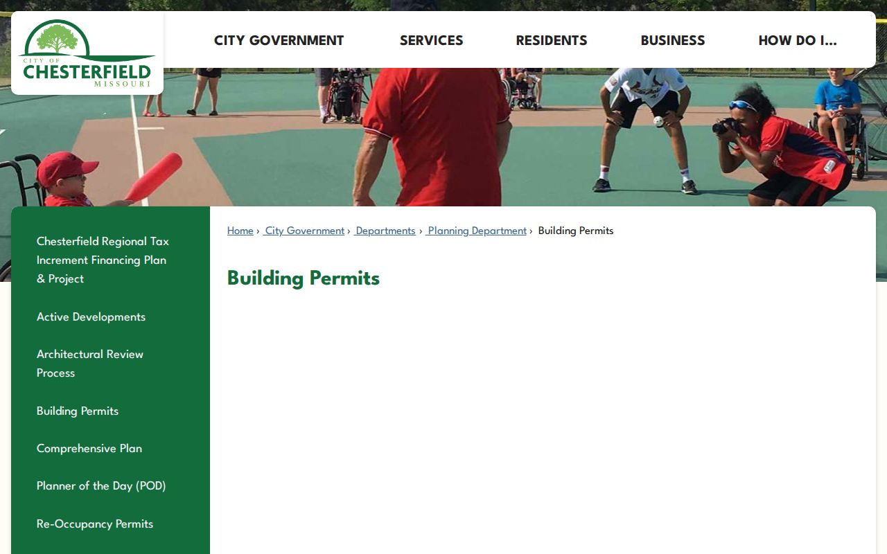
Use the city route to identify the responsible department, then narrow a request by parcel, address range, project type, and date. That detail helps the custodian locate a record without turning a street search into an overbroad request.
Under the Missouri Sunshine Law, Chapter 610, a custodian should respond as soon as possible and no later than the end of the third business day, or explain a delay. The request belongs with the office that holds the record. Chesterfield’s City Clerk Sunshine request form and the county’s records-request channel are the fallback routes when the city or county portal has no searchable entry.
Chesterfield Street Directory History
Older Chesterfield addresses need a wider set of labels. The modern city incorporated on June 1, 1988 after an area of six former communities and post offices. A directory or county index may use Chesterfield, St. Louis, Saint Louis, Chesterfield Township, Gumbo, Wild Horse or Wildhorse, Clarkson, Bonhomme, an old suffix, or initials. If a present address produces no historical result, preserve the legal description and subdivision information, then test the older community label and county rather than inventing a street-renumbering explanation.
No official Chesterfield-wide renumbering year was located. That gap makes the locator, plat, and historic aerial more useful than a casual street-name match. SLCL advises searchers of its digitized directories to run a name or partial-address search and then visually browse the surname section. For a full historical shelf, the Chesterfield city directory page keeps the collection details separate from the current address chain.
Check Chesterfield Street Postal Edges
A postal label does not settle a Chesterfield street directory question. ZIP 63017 reaches parts of Town and Country, Ballwin, Clarkson Valley, Ellisville, and township areas as well as Chesterfield. The Missouri table also lists 63005, 63006, and 63017 with Chesterfield, but the research did not establish a current boundary or delivery mode for every 63006 address. A Chesterfield mailing city is therefore not proof of a city-limit parcel, and a city parcel can have a postal edge case.
Check the specific delivery line in the USPS ZIP Code Lookup, then compare it with the county situs, locator, legal description, subdivision, and GIS municipality field. Postal, city, school, fire, sewer, and utility boundaries can all differ around the same road segment. The physical parcel record is the stronger source for a Chesterfield street connection.
Limits of a Chesterfield Street Directory
A Chesterfield street directory does not identify every person at an address. Public parcel records show assessed ownership and correspondence fields, not an occupancy list. A deed documents an interest in land, not a current household. Directory entries are dated, and permitted voter material is limited to registered voters, subject to list-maintenance changes and protected-address exclusions. Driver-license information is restricted by the federal Driver’s Privacy Protection Act, and utility customer information is not a public directory.
Lawful use. Use Chesterfield address records for personal, lawful research, family history, civic understanding, or a property question. Do not use them to watch, harass, intimidate, or harm anyone.
Missouri Safe at Home supplies qualifying participants with a substitute address for new public records, and voter records can have protected residential addresses closed by court order. Mark an unknown as unknown. A public record is not permission to contact a person or redistribute protected identifiers.