
Chesterfield ZIP Codes by Delivery Area
Missouri's city, county, and ZIP table identifies 63005, 63006, and 63017 with Chesterfield in St. Louis County. That is a useful starting list, but the entries do not create city boundaries. Postal delivery reflects an address service area, while the county parcel map and municipal layers identify geography for a property record. The common Chesterfield delivery ZIPs are 63005 and 63017. Treat 63006 with extra care because the official research did not establish a broad current city-limit delivery pattern for it.
| ZIP | Chesterfield relationship | Postal place note | Verification note |
|---|---|---|---|
| 63005 | Standard ZIP listed for Chesterfield, including much of eastern and northern Chesterfield | USPS preferred city is Chesterfield; adjacent labels include Wildwood and older community names | Check the complete address with USPS and county GIS |
| 63006 | Listed with Chesterfield in Missouri's table, but not established as a broad current city-limit ZIP | Specific delivery, PO, or adjacent service context was not confirmed | Do not infer city location without USPS and GIS review |
| 63017 | Standard western and central Chesterfield postal ZIP | Preferred city Chesterfield, with service extending beyond the city | Crosses municipal and township geography |
The public research found no dated ZIP split or realignment for Chesterfield. It also found no per-ZIP resident count and no confirmed 63006 station map. Those are limits on the record, not gaps to fill with a guess. A full street address remains the key to deciding which postal and municipal descriptions apply.
Chesterfield Postal Verification Tools
Use the USPS Address Lookup as the postal authority. Enter the full street address, city, and state to obtain the deliverable ZIP, or use city and state to request a ZIP list where that option is available. Save the returned delivery line exactly. Then use the county parcel map or assessor record to compare the situs address, municipality, locator, subdivision, and legal description. A postal answer and a parcel answer can both be correct while answering different questions.
| Full street address | USPS input for a deliverable ZIP result; include street number, city, and state. |
|---|---|
| City and state | USPS route for a ZIP list where available, not a proof that all listed ZIPs are inside city limits. |
| One-line address | Census Geocoder cross-check input that returns coordinates and ZCTA context. |
| House number, street, city, state, ZIP | Separate Census fields for checking geographic placement against the postal result. |
The USPS address and ZIP lookup is the source used for the Chesterfield delivery check.
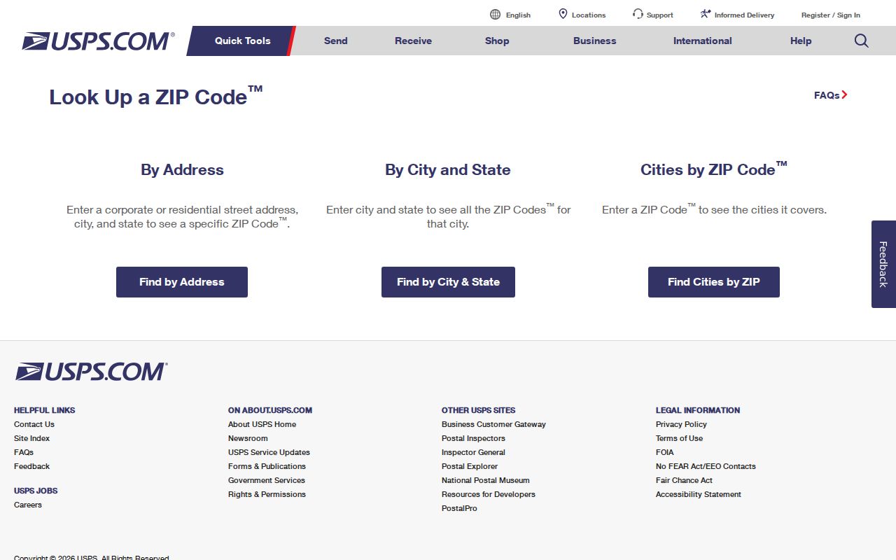
The result should be kept with the exact address searched, because a nearby street or a shortened line can produce a different delivery answer.
Note: A USPS preferred city is a delivery convention and does not confirm municipal incorporation.
Chesterfield 63005 Postal Labels
ZIP 63005 is listed for Chesterfield in the Missouri data table and reaches much of the city's eastern and northern area. USPS uses Chesterfield as its preferred city for the ZIP, but adjacent acceptable place names and older community labels can appear in address history. Research notes point to Wildwood as an acceptable adjacent label and warn against assuming that a postal label and a current city boundary are the same shape. That matters when a family record uses a place name that does not match a modern map label.
Chesterfield was formed from six former towns or communities that had their own post offices. A directory, census, or deed index may therefore use Chesterfield, Gumbo, Howell or Howell's Landing, Bonhomme, Clarkson, or a road form that has changed. Search the historic community label and St. Louis County along with the current postal line. The county locator and legal description provide a firmer bridge when street spellings or delivery labels change.
Chesterfield 63017 Boundary Overlap
ZIP 63017 is a standard Chesterfield postal ZIP, but it also reaches portions of Town and Country, Ballwin, Clarkson Valley, Ellisville, and township areas. A 63017 return should narrow a search, not finish it. Confirm the parcel in the St. Louis County Geospatial Data Center, then check the city or jurisdiction layer before attaching a city name to the address. This prevents a valid Chesterfield postal line from being treated as a Chesterfield city-limit parcel.
Postal and statistical geography create a second overlap. Census profile material shows Chesterfield city intersecting ZCTAs 63005, 63011, 63017, 63141, and 63146. A ZCTA is a Census approximation of ZIP geography, not a USPS delivery boundary. It can give population context, but it cannot produce a reliable list of every address or household served by a postal ZIP.
Finding Chesterfield Residents by ZIP
A ZIP can organize address research, but the local public tools do not expose a single free ZIP-wide resident roster. The county Assessor's Real Estate Search offers locator number, owner name, property address, and subdivision-name modes rather than a dedicated ZIP field. Tax inquiry searches by property number, owner name, or address and shows city and ZIP in results. County GIS can geocode and display a parcel spatially, while the election information process can provide a voter-list request by district or municipality with ZIP among the output fields. Each route answers a limited question.
- Verify the full Chesterfield-area delivery line in USPS and preserve the ZIP returned for that address.
- Search the St. Louis County Real Estate Search by address, owner, locator, or subdivision to obtain the parcel context.
- Open the parcel in county GIS and compare its municipality, situs, district layers, legal description, and locator.
- For a permitted election-record request, use the Election Information Search Form and specify the jurisdiction, fields, sort order, and lawful purpose.
- Use the recorder or city records custodian for the next record needed, rather than treating a ZIP as evidence of who currently lives at an address.
The voter self-check portal requires exact first and last name, full date of birth, last four Social Security digits, and county. It is for a person checking registration, not a general ZIP search. The county form also warns that voter information has use restrictions under Missouri law. For a street-by-street parcel chain after a ZIP has narrowed the area, use the Chesterfield street directory.
Chesterfield Postal Record Fields
ZIP research works best when the same address is preserved in several forms. The county assessor distinguishes the physical situs from the taxing or mailing address. A care-of line can name an intermediary, and the mailing address may point elsewhere. The GIS parcel service adds a locator, owner, land-use, value, and jurisdictional information. The Recorder's plats and deed descriptions supply subdivision, lot, block, or other legal-description terms. Those fields are more durable than a single street string.
| USPS delivery line | The precise postal result for the address submitted. |
|---|---|
| Situs address | The county's physical parcel location. |
| Mailing or taxing address | Where owner correspondence is sent; it is not proof of residence. |
| Locator | County parcel identifier that can bridge assessor, GIS, tax, and deed records. |
| Legal description | Subdivision and lot/block or metes-and-bounds terms used to resolve an address change. |
These Chesterfield address records should never be collapsed into one identity claim. They form an address reconciliation record. If two sources differ, test whether one is postal, one is physical, one is historic, or one reflects an unincorporated pocket before moving to any name search.
Chesterfield ZIP Boundaries and City Limits
ZIP boundaries, city limits, and service districts do not align neatly in Chesterfield. The city sits in western St. Louis County across river-valley and bluff geography. A parcel may also fall within a school, fire, sewer, utility, county, and postal service layer with different borders. City budget material identifies Metro West and Monarch fire protection districts, Parkway and Rockwood school districts, Ameren, Spire, Missouri-American Water, and MSD. These layers may help place an address, but customer names are not public directory evidence.
- ZIP
- A USPS delivery routing code associated with an address, not a municipal boundary.
- ZIP+4
- An added delivery segment that improves routing precision within a ZIP area.
- PO-box ZIP
- A ZIP used for post-office boxes, which should not be assumed to describe a street delivery area.
- Unique ZIP
- A ZIP assigned to one organization or high-volume recipient, if USPS designates it that way.
- Carrier route
- A mail-delivery sequence within a ZIP, not a parcel or city-boundary layer.
Chesterfield Postal Geography Checks
The Census Geocoder is useful after USPS has supplied the delivery answer. It accepts a one-line address or separate house-number, street, city, state, and ZIP fields, then returns coordinates and geographic context. That can reveal why an address near a city edge is associated with a ZCTA or county layer that does not match the postal line. It remains a cross-check, not a postal authority and not a resident list.
The Census address geocoder provides the geographic cross-check for Chesterfield postal geography work.
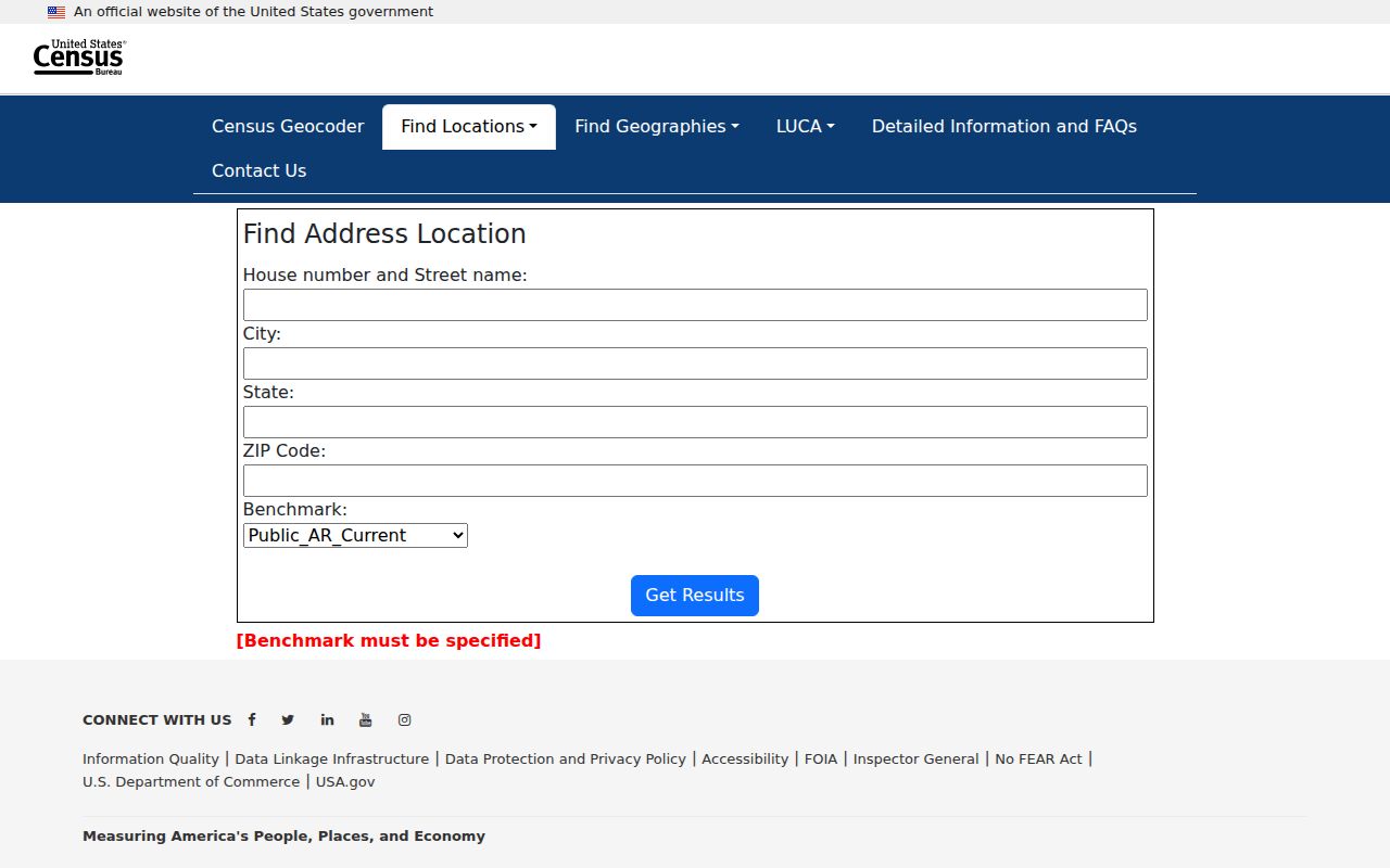
Use the resulting location with the county GIS parcel polygon and Recorder plat when an address, ZIP, and city label appear to disagree.
Note: A ZCTA helps describe statistical geography but does not replace the USPS delivery result for an address.
Chesterfield Postal Geography Context
Chesterfield Valley's floodplain and river-valley setting helps explain why development dates and address patterns differ along valley roads, bluffs, and later parkways. City planning materials trace the Chesterfield Village concept to late-1960s land assembly and 1971 planned-environment-unit petitions around relocated Route 340 and Highway 40. A current mall, office, road, or planned-community address can therefore postdate the farms or communities that occupied the land earlier.
When an address history crosses that change, preserve the street name, ZIP, locator, subdivision, legal description, former community label, and date on each source. Search the city Planning pages, county GIS, Recorder plats, and local-history collections according to the question. This keeps a Chesterfield postal search grounded in the record maker and time period rather than in a modern delivery label alone.